This release not only focuses on optimizations and bugfixes for the newly introduced Google Maps support in v2.5, but also offers support for bing maps as basemaps, new translations and other optimizations. Here´s what´s new in detail:
support for bing maps as basemaps
You can now also select bing maps from Microsoft as basemaps for your marker and layer maps. Here is a demo (please switch to one of the bing maps from the controlbox):
Please be aware, that an API key is required – please follow these instructions for how to get one and how to activate bing basemap support within your plugin settings.
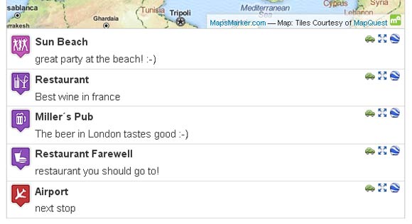
configure marker attributes to show in marker list below layer maps (icon, marker name, popuptext)
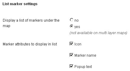
You now can define which marker attributes are visible in the list of markers below layer maps:

You will find this new option under Settings / Layer Defaults / “List marker settings”

Thanks to Isabella for this feedback!
option to use Google Maps (Terrain) as basemap
With v2.6 the plugin also supports Google Terrain maps as basemap, demo:
option to add Google Maps API key (required for commercial usage)
Georg gave me the hint on a comment on http://www.projektq7-webworker.de/leaflet-maps-marker-version-2-3-u-2-4/ that commercial users of Google Maps need to use an API key if they want to apply to the Google terms of usage.
I therefore implemented a new setting under Settings / Google (which I renamed from Google Places) which allows you to enter your API key:

Please also see https://www.mapsmarker.com/google-maps-api-key for more details.
Translations updates
Thanks to many motivated contributors, v2.6 comes with the following translation updates:
New translations:
Updated translations:
If you want to contribute to translations, please visit http://translate.mapsmarker.com/projects/lmm for more information.
Added compatibility check for plugin WordPress Better Minify
Through a support request I discovered a incompatibility with the plugin WordPress Better Minify, causing Leaflet Maps Marker to break. I therefore enhanced the integrated compatibility check with instructions how to solve this (you will see a notice with the plugins settings if this plugin is active on your site).
increased Google Maps maximal zoom level from 18 to 22
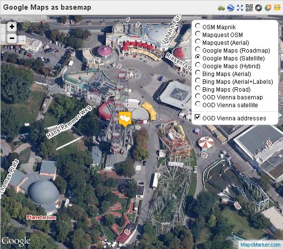
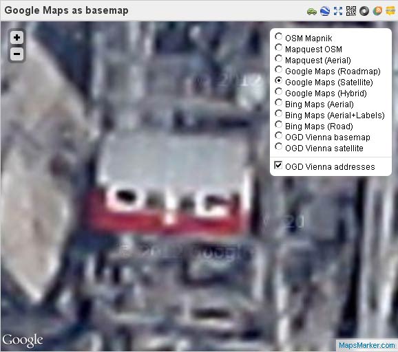
The maximum zoom level for Google Maps introduced with v2.5 has been increased from 18 to 22 – this allows you to display much more detailed maps.
Before (zoom level 18):

After (zoom level 22):

changed the way Google Maps API is called in order to prevent errors with unset sensor parameter when using certain proxy servers
Thanks to Dragan I changed the way the Google Maps scripts get loaded. The old way caused problems on sites using certain proxy servers – resulting in the error
“The Google Maps API server rejected your request. The “sensor” parameter specified in the request must be set to either “true” or “false”.” This should now be fixed.
maps using Google Maps Satellite as basemaps were broken
Marker and layer maps using the newly introduced Google Maps Satellite basemap were broken (although maps showed up on creating those maps – the problem was that each subsequent call lead to a grey map). v2.6 fixes this issue and sets the correct basemap name for all existing marker and layer maps using Google Maps Satellite as basemap.
fixed vertical alignment of basemaps in layer control box in backend
Just a small design bugfix which caused available basemaps in the layer controlbox not to be aligned with the radio buttons
Full changelog
Please let me what you think of this new release. If you have any issues, please see this page on how to get support. If an important feature is missing, please add your feature requests on Github. I am also looking for more translations – if you would like to contribute a new one, please visit this page for more information.